Fichier:South Korea (orthographic projection).svg

Taille de cet aperçu PNG pour ce fichier SVG : 541 × 541 pixels. Autres résolutions : 240 × 240 pixels | 480 × 480 pixels | 768 × 768 pixels | 1 024 × 1 024 pixels | 2 048 × 2 048 pixels.
Fichier d’origine (Fichier SVG, nominalement de 541 × 541 pixels, taille : 341 kio)
Ce fichier provient de Wikimedia Commons.
Les informations le concernant sont affichées dans cette page de description qui est copiée ci-dessous.
Commons est un serveur de fichiers sous licence libre. Vous pouvez aider (procédure). |

Description
| Description |
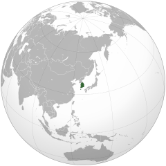
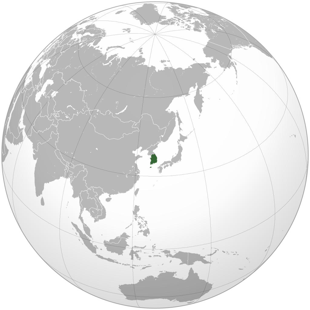
English: Orthographic map of South Korea generated by GMT, editted with Inkscape and Adobe Illustrator.
한국어: 정사도법으로 제작된 남한 지도. GMT로 생성한 후, Inkscape와 Adobe Illustrator로 수정함. |
||
| Date | |||
| Source | Own work by Uploader, colors are from User:Ssolbergj's orthographic map series (see below). | ||
| Auteur | Ksiom | ||
| Autres versions |
.svg)
|
.svg)
.svg)
.svg)
.svg)
.svg)
.svg)
.svg)
.svg)
.svg)
.svg)
.svg)
.svg)
.svg)
.svg)
.svg)
.svg)
.svg)
.svg)
.svg)
.svg)
.svg)
.svg)
.svg)
.svg)
.svg)
.svg)
.svg)
.svg)
.svg)
.svg)
.svg)
.svg)
.svg)
.svg)
.svg)
.svg)
.svg)
.svg)
.svg)
.svg)
.svg)
.svg)
.svg)
.svg)
.svg)
.svg)
.svg)
.svg)
.svg)
.svg)
.svg)
.svg)
.svg)
.svg)
.svg)
.svg)
.svg)
.svg)
.svg)
.svg)
.svg)
.svg)
.svg)
.svg)
.svg)
.svg)
.svg)
.svg)
.svg)
.svg)
.svg)
.svg)
.svg)

.svg)

.svg)

.svg)
.svg)
.svg)
.svg)
.svg)
.svg)
.svg)


.svg)
.svg)
.svg)
.svg)
.svg)
.svg)
.svg)

.svg)
.svg)
.svg)
.svg)
.svg)
.svg)
.svg)
.svg)
.svg)

.svg)
.svg)
.svg)
.svg)
.svg)
.svg)
.svg)
_without_national_boundaries.svg)
.svg)
.svg)
.svg)
.svg)
.svg)
.svg)

.svg)
.svg)
.png)
.svg)
.svg)
.svg)
.svg)

.svg)
.svg)
.svg)
.svg)
.svg)
.svg)
.svg)
.svg)
.svg)
.svg)
.svg)

.svg)
.svg)
.svg)
.svg)
.svg)
.svg)
.svg)
.svg)
.svg)

.svg)
.svg)

.svg)
.svg)
.svg)
.svg)
.svg)
.svg)
.svg)
.svg)
.svg)
.svg)
.svg)
.svg)
.svg)
.svg)
.svg)
.svg)
.svg)
.svg)
.svg)
.svg)
.svg)
.svg)
.svg)
.svg)
.svg)
.svg)
.svg)
_-_Crimea_disputed.svg)
.svg)
.svg)
.svg)
.svg)
.svg)
.svg)
.svg)
.svg)
.svg)
.svg)
.svg)
_political.svg)
.svg)
.svg)
.svg)
.svg)
_-_Crimea_disputed_-_no_borders.svg)
.svg)
.svg)
.svg)
.svg)
.svg)
.svg)
.svg)
.svg)
.svg)
.svg)
.svg)

.svg)
.svg)
.svg)

.png)
.svg)
.svg)
.svg)
.svg)
.svg)
.svg)
.svg)
.svg)
.svg)
.svg)
.svg)
.svg)
.svg)
.svg)
.svg)
.svg)
.svg)
.svg)
.svg)
.svg)
.svg)
.svg)
.svg)
.svg)
.svg)
.svg)
.svg)
.svg)
.svg)
.svg)
.svg)
.svg)
.svg)
.svg)
.png)
.svg)
.svg)
.svg)
_(orthographic_projection).png)
.svg)
.svg)
.svg)
Conditions d’utilisation
Moi, en tant que détenteur des droits d’auteur sur cette œuvre, je la publie sous les licences suivantes :
Ce fichier est disponible selon les termes de la licence Creative Commons Attribution – Partage dans les Mêmes Conditions 3.0 (non transposée).
- Vous êtes libre :
- de partager – de copier, distribuer et transmettre cette œuvre
- d’adapter – de modifier cette œuvre
- Sous les conditions suivantes :
- paternité – Vous devez donner les informations appropriées concernant l'auteur, fournir un lien vers la licence et indiquer si des modifications ont été faites. Vous pouvez faire cela par tout moyen raisonnable, mais en aucune façon suggérant que l’auteur vous soutient ou approuve l’utilisation que vous en faites.
- partage à l’identique – Si vous modifiez, transformez, ou vous basez sur cette œuvre, vous devez distribuer votre contribution sous la même licence ou une licence compatible avec celle de l’original.

|
Vous avez la permission de copier, distribuer et modifier ce document selon les termes de la GNU Free Documentation License version 1.2 ou toute version ultérieure publiée par la Free Software Foundation, sans sections inaltérables, sans texte de première page de couverture et sans texte de dernière page de couverture. Un exemplaire de la licence est inclus dans la section intitulée GNU Free Documentation License. |
Vous pouvez choisir l’une de ces licences.
Historique du fichier
Cliquer sur une date et heure pour voir le fichier tel qu'il était à ce moment-là.
.svg&dir=prev)
.svg&offset=20090710122643)
.svg&offset=&limit=20)
.svg&offset=&limit=50)
.svg&offset=&limit=100)
.svg&offset=&limit=250)
.svg&offset=&limit=500)
| Date et heure | Vignette | Dimensions | Utilisateur | Commentaire | |
|---|---|---|---|---|---|
| actuel | 17 avril 2022 à 06:09 | | 541 × 541 (341 kio) | ToughDonk | Reverted to version as of 14:58, 21 November 2017 (UTC): Unexplained revert |
| 17 avril 2022 à 00:01 |  | 541 × 541 (345 kio) | Cesar David MP | Reverted to version as of 01:42, 21 August 2017 (UTC) | |
| 21 novembre 2017 à 14:58 |  | 541 × 541 (341 kio) | Sharouser | Reverted to version as of 21:58, 19 August 2017 (UTC) South Korea means the region which is administered by ROK. | |
| 21 août 2017 à 01:42 |  | 541 × 541 (345 kio) | Supreme Dragon | Reverted to version as of 20:54, 11 June 2017 (UTC) Please see http://www.law.go.kr/lsInfoP.do?lsiSeq=61603&efYd=19880225#0000 | |
| 19 août 2017 à 21:58 |  | 541 × 541 (341 kio) | Crossswords | Reverted to version as of 15:49, 17 November 2012 (UTC) | |
| 11 juin 2017 à 20:54 |  | 541 × 541 (345 kio) | Supreme Dragon | Added North Korea in light green, which South Korea claims the whole Korea according to the constitution. | |
| 17 novembre 2012 à 15:49 |  | 541 × 541 (341 kio) | Ksiom | Reverted to version as of 15:10, 10 July 2009 | |
| 26 septembre 2010 à 09:27 |  | 536 × 536 (370 kio) | Valentim | Reverted to version as of 12:26, 10 July 2009. Removing space between projection and edge of this picture. | |
| 10 juillet 2009 à 15:10 |  | 541 × 541 (341 kio) | Ksiom | revised version | |
| 10 juillet 2009 à 12:26 |  | 536 × 536 (370 kio) | ASDFGHJ | fix top lines problem |
Utilisation du fichier
La page suivante utilise ce fichier :
Usage global du fichier
Les autres wikis suivants utilisent ce fichier :
- Utilisation sur af.wikipedia.org
- Utilisation sur ar.wikipedia.org
- قائمة الدول ذات السيادة والأقاليم التابعة في آسيا
- مستخدم:جار الله/قائمة صور مقالات العلاقات الثنائية
- العلاقات الأنغولية الكورية الجنوبية
- العلاقات الإريترية الكورية الجنوبية
- العلاقات السويسرية الكورية الجنوبية
- العلاقات الألمانية الكورية الجنوبية
- العلاقات الكورية الجنوبية الليختنشتانية
- العلاقات البوليفية الكورية الجنوبية
- العلاقات الكورية الجنوبية الموزمبيقية
- العلاقات الألبانية الكورية الجنوبية
- العلاقات البلجيكية الكورية الجنوبية
- العلاقات الإثيوبية الكورية الجنوبية
- العلاقات البيلاروسية الكورية الجنوبية
- العلاقات الطاجيكستانية الكورية الجنوبية
- العلاقات الروسية الكورية الجنوبية
- العلاقات الرومانية الكورية الجنوبية
- العلاقات الأرجنتينية الكورية الجنوبية
- العلاقات الغامبية الكورية الجنوبية
- العلاقات القبرصية الكورية الجنوبية
- العلاقات السيراليونية الكورية الجنوبية
- العلاقات الكورية الجنوبية النيبالية
- العلاقات الكورية الجنوبية الليبيرية
- العلاقات التشيكية الكورية الجنوبية
- العلاقات الكورية الجنوبية الميانمارية
- العلاقات الكندية الكورية الجنوبية
- العلاقات الزيمبابوية الكورية الجنوبية
- العلاقات البالاوية الكورية الجنوبية
- العلاقات الكورية الجنوبية المالية
- العلاقات الكورية الجنوبية النيجيرية
- العلاقات اليمنية الكورية الجنوبية
- العلاقات الفانواتية الكورية الجنوبية
- العلاقات الغابونية الكورية الجنوبية
- العلاقات البنمية الكورية الجنوبية
- العلاقات الكوبية الكورية الجنوبية
- العلاقات الجورجية الكورية الجنوبية
- العلاقات التونسية الكورية الجنوبية
- العلاقات الكورية الجنوبية الكورية الشمالية
- العلاقات الهندية الكورية الجنوبية
- العلاقات الإيطالية الكورية الجنوبية
- العلاقات الكورية الجنوبية الناوروية
- العلاقات الأسترالية الكورية الجنوبية
- العلاقات الزامبية الكورية الجنوبية
- العلاقات الفيجية الكورية الجنوبية
- العلاقات المارشالية الكورية الجنوبية
- العلاقات الأذربيجانية الكورية الجنوبية
- العلاقات السودانية الكورية الجنوبية
- العلاقات الكويتية الكورية الجنوبية
- العلاقات الكونغوية الكورية الجنوبية
- العلاقات الدومينيكانية الكورية الجنوبية
Voir davantage sur l’utilisation globale de ce fichier.
.svg)
.svg)